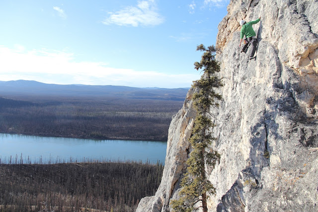
There is a lot of plutonic rock right around Carmacks, though unfortunately not of the kind that is good from a climbing standpoint, lots of pyroclastic and low density conglomerates, but there is some limestone bluff of fairly significant import just east of town. I have started working on a few area that are of am manageable size for the moment. Lots of shedding flakes, and chippy rock but there are sections of decent limestone. Good potential from some multi-pitch near the main bowl / caves and perhaps on the steeper lines...which are near a scarred dihedral which had a major collapse, more recent than not.
Was really warm for the end of October - I had brought my mixed gear but the rock was plenty warm enough for rock shoes. This section gets a lot of sun and is near the approach trail. Big views, moderate climbing on high friction rock, room for 3 or 4 lines. Anchors installed.
Down by the main section of the cliff, just to the left of the big bowl. These section has some highly contorted sedimentary layers in variable rock that is no where as bad as it looks. In places the synclines and anticlines are very tight and oriented almost vertically; which makes sense given the local coal deposits are almost at 75 degrees from horizontal. Lots of weathering on blocky features which is great for dry tooling. Potential here but will need some serious cleaning in some sections. This area gets more sun than I thought it would this time of year and the warm temps negated any need for gloves. Just ferreting out some lines are and figuring out the logistics of developing such. Bigger terrain here with plenty of karst features, phreatic tubes - generally to small or too full of fox droppings enter though
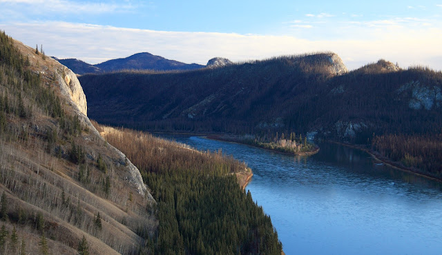
..and some shots of the river and the bluff on the way back to town. The top of the corner that has been shedding rock is just visible. A nice potential line could follow the skyline, though assessing those large flakes would be in order.
A blog about Carmacks in the central Yukon, it environs, and things to see and do here.
Translate
Tuesday, October 27, 2015
Friday, October 23, 2015
New hike near Carmacks and an old one further out.
The local First Nation has been working on some old tracks and trails - hiked one the other night, about 5 minutes form where I stay. Makes a nice loop, lolks to be a good bike ride with options for sidesingle track branching off.
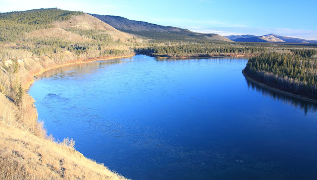
Drove north of the highway on the weekend about 40 kms north of town to where a the road is squeezed between the Yukon River and a high bluff. Open slops interspersed with pyroclastic / conglomerate volcanic rock lead easily to the ridge top, about 550m elevation gain. typical of the Yukon at the high point is an old cross, now broken but clearly evidence of others. I think the snow capped rounded mountain in the distance is Mount Freegold. Would be good skiing in the right conditions, but it seems like terrain that doesn't get a significant snowpack
Some shots of the evening by Tatchum Creek and Five Finger Rapids on the way back
Subscribe to:
Comments (Atom)


